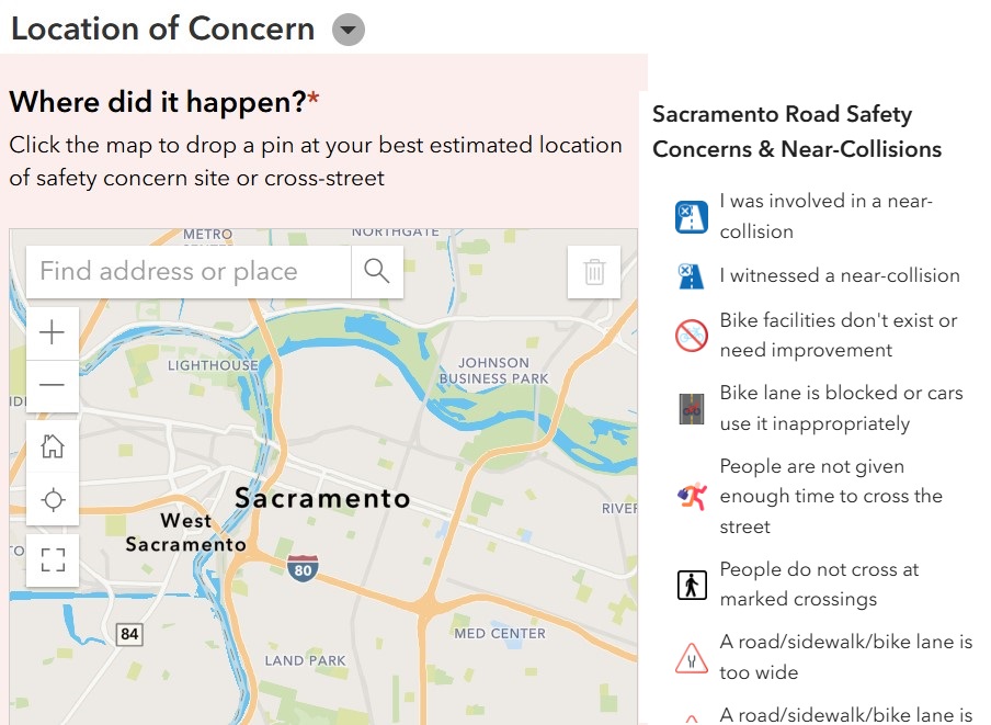
Today, I’m sharing early access to a crucial tool designed to document our shared experiences of road safety risks, near-misses, and general concerns around Sacramento’s streets. This interactive tool, developed with ArcGIS, focuses on gathering data about areas that feel unsafe, whether at intersections, along specific roadways, or in any place where you or others have experienced close calls.
Unlike the crash data that’s already available, this tool allows us to capture insights on the countless moments that go unrecorded — those near-collisions and areas of concern that never make it into official reports. Each marker you place on the map serves as evidence of where Sacramento’s streets aren’t working for the safety of all. Whether you’re a driver, cyclist, or pedestrian, your input is vital to help us paint a fuller picture of our community’s road safety challenges.
How You Can Contribute
- Map Your Concerns: Use the tool to mark intersections and stretches of road where you’ve encountered near-misses or felt a general lack of safety. Every marker counts in building a case for the improvements we need.
- Spread the Word: Share this tool with family, friends, and neighbors. If they, too, have experienced or observed risky areas, encourage them to participate. By collecting widespread community input, we can better advocate for changes where they’re needed most.
- Share Feedback: As you use the tool, let us know if there are ways it could be improved. Your experience with it will help us make adjustments before we release it to the wider public.
Access the tool here: ArcGIS Slow Down Sacramento Tool
Thanks for this support
Will Green
(President Emeritus – East Sacramento Preservation)



 Subscribe In A Reader.
 Check Us Out On Facebook!
 Check Us Out On Twitter!
 Visit Nextdoor!


